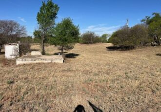
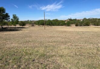
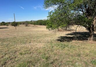
MUST BE BROUGH INTO CODE WITHIN 6 MONTHS
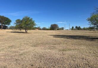
Lot Twenty-Nine (29), in Block Three (3), Wheatly Subdivision of Block Two (2) of the Bacon and Bentley Addition, to the City of Vernon, Wilbarger County, Texas (R6390001)
MUST BE BROUGHT INTO CODES WITHIN 6 MONTHS
North Fifty Feet (50′) of the South One Hundred Feet (100′) of the East Half (E/2) of Block Forty-three (43), South Addition, City of Vernon, Wilbarger County, Texas (R5395001)
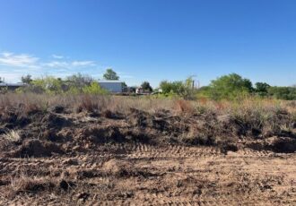
A 10.00 acre tract of land more or less located in Section 1010, Block C-2, E.W Bolton Survey, being the Southeast Quarter (SE/4) of the Northeast Quarter (NE/4) of the Northeast Quarter (NE/4) of the West Half (W/2), Jeff Davis County, Texas; being more particularly described in a Warranty Deed recorded in Volume 194 Page 855 of the Official Public Records of Jeff Davis County, Texas, such description being incorporated herein by reference
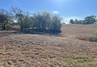
A 10.00-acre tract of land more or less located in Section 1010, Block C-2, E.W Bolton Survey, being the Southwest Quarter (SW/4) of the Northeast Quarter (NE/4) of the Northeast Quarter (NE/4) of the West Half (W/2), Jeff Davis County, Texas; being more particularly described in a Warranty Deed recorded in Volume 194 Page 855 of the Official Public Records of Jeff Davis County, Texas, such description being incorporated herein by reference.
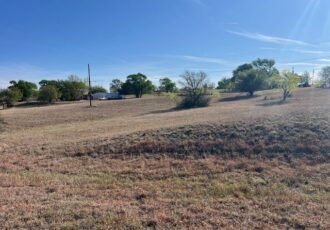
A 10.00 acre tract of land more or less located in Section 1010, Block C-2, E.W Bolton Survey, being the Northwest Quarter (NW/4) of the Northeast Quarter (NE/4) of the Northeast Quarter (NE/4) of the West Half (W/2), Jeff Davis County, Texas; being more particularly described in a Warranty Deed recorded in Volume 194 Page 855 of the Official Public Records of Jeff Davis County, Texas, such description being incorporated herein by reference.
A 10.00 acre tract of land more or less located in Section 1010, Block C-2, E.W Bolton Survey, being the Northeast Quarter (NE/4) of the Northeast Quarter (NE/4) of the West
Half (W/2), Jeff Davis County, Texas; being more particularly described in a Warranty Deed recorded in Volume 194, Page 855 of the Official Public Records of Jeff Davis County, Texas, such description being incorporated herein by reference
A 10.00 acre tract of land, more or less, out of the Southwest
Quarter (SW/4) of the Northwest Quarter (NW/4) of the Southwest Quarter (SW/4) of Section Six Hundred Twenty-Eight (628), G.C. & S. F. Ry Co. Survey, Jeff Davis County, Texas; being particularly described in a Warranty Deed recorded in Volume 186, Page 756 of the Official Public Records of Jeff Davis County, Texas; such description being incorporated herein by reference
A 10.00 acre tract of land, more or less, out of the Northwest
Quarter (NW/4) of the Southwest Quarter (SW/4) of the Northwest Quarter (NW/4) of Section Six Hundred Twenty-Eight (628), G.C. & S.F. Ry Co. Survey, Jeff Davis County, Texas; being particularly described in a Warranty Deed recorded in Volume 186, Page 758 of the Official Public Records of Jeff Davis County, Texas; such description being incorporated herein by reference
A 10.00 acre tract of land, more or less, described as the Northeast Quarter (NE/4) of the Southeast Quarter (SE/4) of the Southwest Quarter (SW/4) of the West One- Half (W/2) of Section 1010 of the E.W. Bolton Survey, Jeff Davis County, Texas; being the same property described in a Warranty Deed recorded in Volume 184, Page 829 of the Official Public Records of Jeff Davis County, Texas.
Request for Proposal will be required.
Being the South Seventy-Five Feet (S 75′), of Lot Five (5), Six (6), and Seven (7), Block One Hundred Fifty-Six (156), College Heights Addition, to the Town of Stamford, Jones County, Texas