0 Listed Properties
-
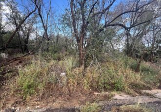
Marchant Ave, Loraine, TX 79532, USA
Lot One (1), Two (2), and Three (3), Block Sixty Eight (68), T&P Addition, City of Loraine, Mitchell County, Texas, as more particularly described in a Special Warranty Deed recorded in Vol. 800, Pg. 1042 of the Deed Records of Mitchell County, Texas. R23248
-
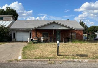
S Main St, Loraine, TX 79532, USA
Section Forty-Seven (47), in Block Twenty-Five (25), T&P Railway Co. Survey, City of Loraine, Mitchell County, Texas, as more particularly described in a Warranty Deed recorded in Vol. 800, Pg. 1042, of the Deed Records of Mitchell County, Texas. R22895
-
2104 Canal St, Vernon, TX 76384, USA
MUST SUBMIT PROPOSAL AND BRING INTO CODE WITHIN 6 MONTHS FROM REDEMPTION PERIOD
Lot 14 and the East 12 feet of Lot 13, Block 4, McAdoo, Oakes & Schaeffer Addition, to the City of Vernon, Wilbarger County, Texas, as more particularly described in a deed recorded in Volume 717 at Page 113 of the Official Public Records, Wilbarger County, Texas;
-
0 FM 367, Wichita Falls, TX 76305, USA
4.32 acres, Abstract 253, Wichita, Texas
-
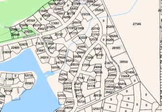
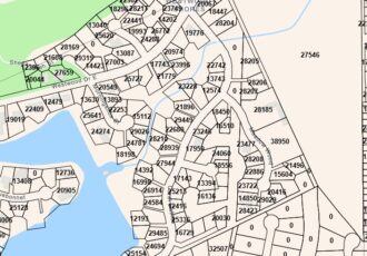
Coral Gables, Trinity, TX 75862, USA
WESTWOOD SHORES SECTION 01, BLOCK 03 LOT 16
-
Coral Gables, Trinity, TX 75862, USA
LOT 3, BLOCK 3, WESTWOOD SHORES SUBDIVISION, SECTION 1, ACCORDING TO THE MAP OR PLAT THEREOF RECORDED IN VOLUME 1, PAGES 136 AND 137, PLAT RECORDS OF TRINITY COUNTY, TEXAS. (ACCT. #R510)
-
A 10.00 acre tract of land more or less located in Section 1010, Block C-2, E.W Bolton Survey, being the Southeast Quarter (SE/4) of the Northeast Quarter (NE/4) of the Northeast Quarter (NE/4) of the West Half (W/2), Jeff Davis County, Texas; being more particularly described in a Warranty Deed recorded in Volume 194 Page 855 of the Official Public Records of Jeff Davis County, Texas, such description being incorporated herein by reference
-
A 10.00-acre tract of land more or less located in Section 1010, Block C-2, E.W Bolton Survey, being the Southwest Quarter (SW/4) of the Northeast Quarter (NE/4) of the Northeast Quarter (NE/4) of the West Half (W/2), Jeff Davis County, Texas; being more particularly described in a Warranty Deed recorded in Volume 194 Page 855 of the Official Public Records of Jeff Davis County, Texas, such description being incorporated herein by reference.
-
A 10.00 acre tract of land more or less located in Section 1010, Block C-2, E.W Bolton Survey, being the Northwest Quarter (NW/4) of the Northeast Quarter (NE/4) of the Northeast Quarter (NE/4) of the West Half (W/2), Jeff Davis County, Texas; being more particularly described in a Warranty Deed recorded in Volume 194 Page 855 of the Official Public Records of Jeff Davis County, Texas, such description being incorporated herein by reference.
-
A 10.00 acre tract of land more or less located in Section 1010, Block C-2, E.W Bolton Survey, being the Northeast Quarter (NE/4) of the Northeast Quarter (NE/4) of the West
Half (W/2), Jeff Davis County, Texas; being more particularly described in a Warranty Deed recorded in Volume 194, Page 855 of the Official Public Records of Jeff Davis County, Texas, such description being incorporated herein by reference
-330x230.jpg)